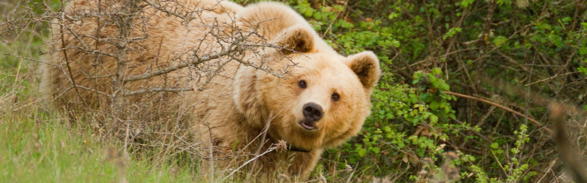
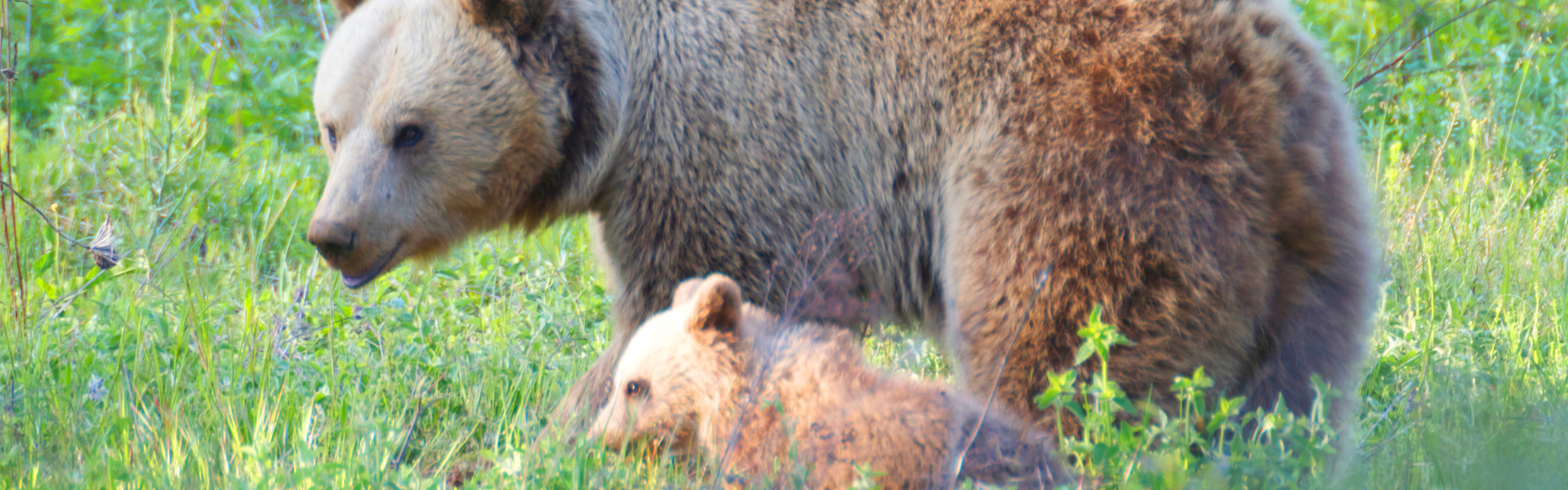
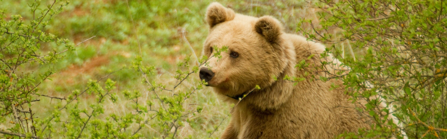
This action aims at a concrete ranking, mapping and visualization of sectors within the area targeted by the project, presenting high risk of human-bear interference cases which might degenerate into conflict situations with detrimental effects upon the targeted species. Brown bear species range in Greece as well as in the project area are characterized (as in most European countries where large carnivores are still present) by a relatively high density of human settlements (usually small villages) across its range surface. Overall and in numbers this means no less than 1,110 villages present across the total species range (~21,000 km2) in the country, totaling circa 160,000 inhabitants. At the scale of the area targeted by the project circa 25 villages are present over an area of circa 600 km2 with 17,000 inhabitants. This status of spatial overlapping between human and bear “habitats” has shaped over time a mode of sustainable coexistence but with several problems which are moderated by:
- bears’ high behavioral plasticity and adaptive skills versus human presence and activity
- human’s acceptance/tolerance levels which are subject to fluctuations depending on the negative effects of this co-existence
However the whole system of human-bear co-existence depends on a relatively fragile balance which is very often disturbed with detrimental effects to the species. That is why it is very important to try to understand, quantify and manage its thresholds and limits in order to make this co-existence as sustainable as possible. Bear damage on agriculture and interference in rural areas (including the area targeted by the project) has always been part of the everyday rural life and reality. Over the last 2 decades, a majority of conflict situations causing negative reactions and attitudes in local communities and subsequently a negative impact on the targeted species is being managed and resolved through the use of several means and mechanisms such as: damage compensation system, an increasing use of preventive measures, continuous awareness and information efforts in a synergic way. Yet, at a local scale, this is not always the case as conflict problems do persist mainly due to the combination of the following factors:
- changes in land-use practices: increase of cultivations with trophic value to the species
- increase of human related food attractants such as domestic garbage dumps
- proximity of human settlements which concentrate an important part of food resources (orchards etc) to forest or agro-forest habitats
- habitat fragmentation and population disturbance due to construction of large infrastructure
- bears easy learning capacities and behavior to easily accessible food resources
This situation has led to a modification of the human-bear co-existence model with multiplication of bear-human interference incidents.
The identification and delineation in the area targeted by the project of the hot-spots with the higher risk of negative bear-human interference, will be achieved through the compilation, analysis and scoring of all related active factors involving human activity and infrastructure components in relation to bear environmental components.